

A Forest Few Know: Exploring Iran’s Marginal Mangroves Growing Between Sea and Sand

Written by Yousef Erfanifard (Guest Writer)

Mangrove ecosystems are critical to coastal resilience, providing a powerful shield against erosion and acting as efficient carbon sinks. Yet worldwide, these marine forests have contracted dramatically, occupying far less area than they once did.
This makes the survival of specialised, frontier habitats more crucial than ever.
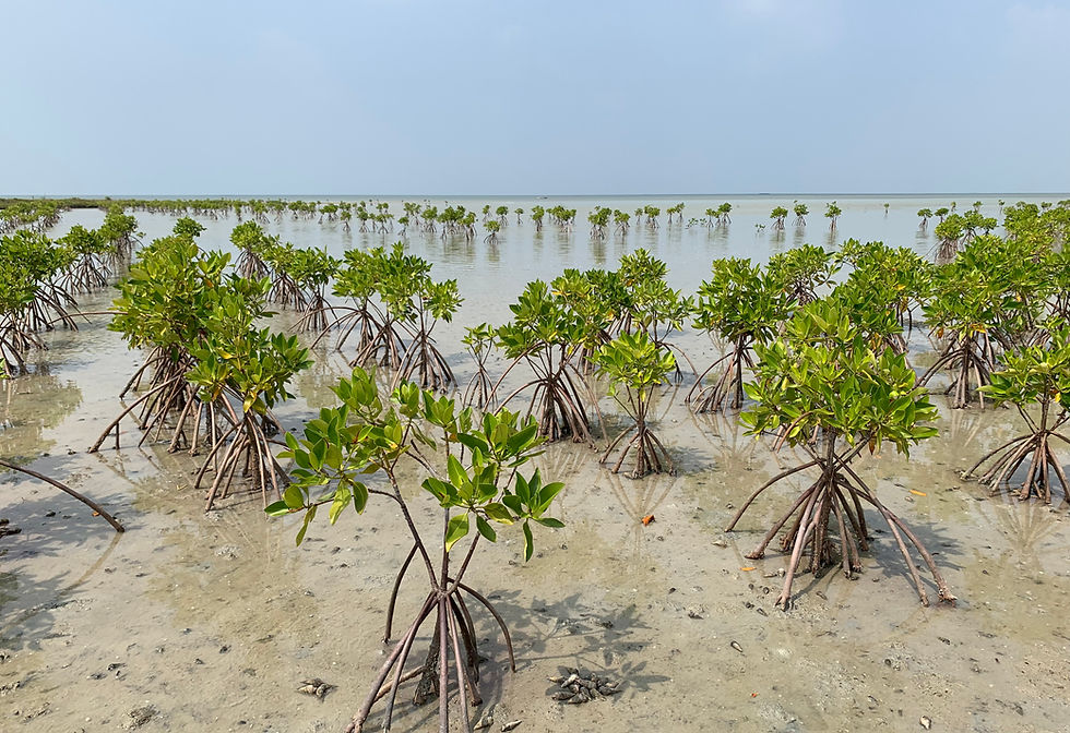
In southern Iran, we find a truly remarkable example of these ecosystems, primarily dominated by Avicennia marina along with localised mixed patches of Rhizophora mucronata in Roud-e Gaz (Figure 1). The mangroves here are unique because they thrive at the absolute northern limit of their global range, reaching all the way to Mahshahr at 30.5°N.
Sitting at these poleward limits, these mangroves must endure extreme environmental conditions. Because of their existence at this climate range, they function as vital warning signs for the environment.
Here, even minor climatic shifts can drive rapidly, sweeping ecological changes!

Life on the ecological frontier
At these freezing and salty edges, harsh conditions alter how mangroves grow. Instead of expanding into the dense, sweeping forests typical of the tropics, they form narrow strips hugging the sheltered coastlines and tidal waters.

Yet, looks can be deceiving. While they may appear as fragmented patches, they help wildlife move between habitats, safeguard diversity, and serve as the essential foundation for future forest expansion as global temperatures shift.
In fact, southern Iran possesses some of the most precious coastal treasures on Earth: The Hara Biosphere Reserve in the Strait of Hormuz.
This area has been designated as a UNESCO Biosphere Reserve since 1976, and it stands proud as one of the oldest wetland sites registered under the historic Ramsar Convention [1,2].
To monitor this fragile frontier, our team launched a comprehensive three-year research project (2019-2022) funded by the Iran National Science Foundation (INSF).
As the lead researcher, my goal was to establish a reliable system to observe how these high-latitude forests have behaved over time [3].

Three major breakthrough insights from three decades of data
We unlocked thirty years of planetary data (1990-2020) by blending satellite imagery from NASA Landsat series and the European Space Agency Sentinel-2, using Google Earth Engine (GEE) to process it all in the cloud:
Surprising resilience
Our long-term satellite tracking revealed that despite intense, local pressures, Iran’s total mangrove footprint expanded by over 2,300 ha between 1990 and 2020, climbing to a total area of approximately 13,000 ha [2].
The submerged solution
When evaluating satellite data, we proved that specialised mapping models, such as the Submerged Mangrove Recognition Index (SMRI), drastically outperform general greenness indices (like NDVI) because they can accurately identify mangroves even when they are partially flooded.
The cloud computing shift
Processing massive satellite datasets inside GEE allowed us to create a highly precise, cost-effective, and easy-to-scale system for monitoring delicate coastal strips across the entire country.
Keeping track of Iran’s marginal mangroves: The way forward
While Iran's marginal mangroves are naturally resilient, fragmentation hinders their ability to survive in these circumstances.
Operating at their environmental limits, these patches are highly vulnerable to climate-driven temperature spikes, intense droughts, and sea-level rise.
This includes the highly promising marginal sites planted in the 2010s that have now successfully expanded to over 280 ha, demonstrating the immense restoration potential of the region.
By putting these validated satellite tools directly into the hands of conservationists, we can protect our northernmost marine guardians and ensure they continue to buffer our changing world.
References
[1]. Mashayekhi, Z., Danehkar, A., Sharzehi, G. A., & Majed, V. (2016). Coastal communities WTA compensation for conservation of mangrove forests: A choice experiment approach. Knowledge & Management of Aquatic Ecosystems, (417), 20. https://doi.org/10.1051/kmae/2016007
[2]. Erfanifard, Y., Lotfi Nasirabad, M., & Stereńczak, K. (2022). Assessment of Iran’s mangrove forest dynamics (1990-2020) using Landsat time series. Remote Sensing, 14(19), 4912. https://doi.org/10.3390/rs14194912
[3]. Erfanifard, Y. (2019-2022). Quantitative Assessment of Mangrove Forests using Remote Sensing Techniques (Grant No. 98025568). Iran National Science Foundation (INSF).
About the Author
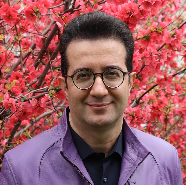
Dr. Yousef Erfanifard is a researcher and mangrove ecologist in the Department of Remote Sensing and GIS at the University of Tehran. As a British Ecological Society (BES) Fellow and a Working Group Lead for the International Association for Landscape Ecology (IALE), he plays an active role in shaping global ecological research. His work focuses on tracking how mangrove forests change over time and space. He specializes in blending remote sensing and artificial intelligence (GeoAI) with nature conservation, studying how plants interact with one another, and using high-tech tools for precision forestry.

Comments